Bauverwaltung
Alte Pfarrgasse 3
97616 Bad Neustadt a.d.Saale
Telefon: 09771 / 9106-310
Telefax: 09771 / 9106-309
E-Mail: bauverwaltung(at)bad-neustadt.de
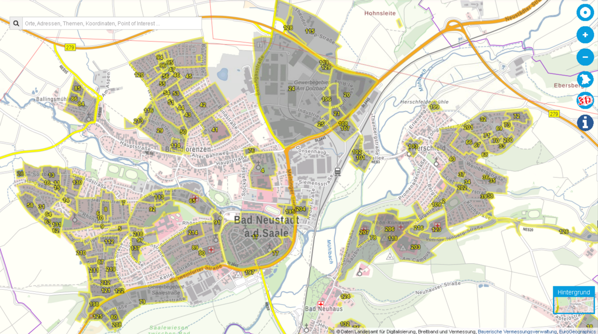
We have clearly arranged the development plans of the city of Bad Neustadt for you in the BayernAtlas.
The available development plans are displayed in gray/yellow. Here you will find by clicking at the appropriate place in the city area not only the plan drawing, but also the textual determination and the legend in PDF form.
The BayernAtlas urban land use planning is an information system for the urban land use plans of the cities and municipalities of Bavaria. The application serves - in the sense of citizen service - as a first-start site where you can get information about urban land-use plans. This service does not replace the legally binding nature of the original plans. Only the original plan contains the valid legal situation in the sense of the building code.
Click here to go directly to the BayernAtlas page.
Hier finden Sie eine Zusammenstellung der rechtsverbindlichen Bebauungspläne der Stadt Bad Neustadt a. d. Saale.
Der Stadtrat der Stadt Bad Neustadt a. d. Saale hat in der Sitzung vom 11.04.2024 die Aufstellung einer Einbeziehungssatzung für den Bereich des Grundstücks Fl.Nr. 166, An der Königshofer Straße, Gemarkung Herschfeld mit der dazugehörigen Begründung beschlossen.
Der Entwurf der Einbeziehungssatzung und die dazugehörige Begründung, beide in der Fassung vom 11.04.2024, werden nun gemäß § 34 Abs. 6 Satz 1 BauGB i. V. m. § 13 Abs. 2 Satz 1 Nr. 2 und Satz 2 BauGB und § 3 Abs. 2 BauGB in der Zeit vom 10.07.2024 bis einschließlich 12.08.2024 öffentlich ausgelegt (siehe nachfolgende Amtliche Bekanntmachung sowie weitere Unterlagen).
Die Beteiligung der Behörden und sonstigen Träger öffentlicher Belange gemäß § 34 Abs. 6 Satz 1 BauGB i. V. m. § 13 Abs. 2 Satz 1 Nr. 3 BauGB, § 4 Abs. 2 BauGB und § 4a Abs. 2 BauGB findet in der Zeit vom 10.07.2024 bis einschließlich 12.08.2024 statt.
Der Stadtrat der Stadt Bad Neustadt a. d. Saale hat in der Sitzung vom 06.07.2023 die 15. Änderung des Flächennutzungsplanes für die Bereiche „Solarpark Brendlorenzen“ und „Solarpark Lebenhan“ beschlossen. Gleichzeitig wurde der Vorentwurf der 15. Änderung des Flächennutzungsplanes für die Bereiche „Solarpark Brendlorenzen“ und „Solarpark Lebenhan“ in der Fassung vom 06.07.2023 gebilligt und die frühzeitige Beteiligung gemäß §§ 3 Abs. 1 und 4 Abs. 1 BauGB beschlossen.
Die Öffentlichkeit wurde über den Vorentwurf der 15. Änderung des Flächennutzungsplanes für die Bereiche „Solarpark Brendlorenzen“ und „Solarpark Lebenhan“ gemäß § 3 Abs. 1 BauGB in der Zeit vom 22.08.2023 bis einschließlich 25.09.2023 frühzeitig öffentlich unterrichtet. Die frühzeitige Beteiligung der Behörden und sonstigen Träger öffentlicher Belange gemäß § 4 Abs. 1 BauGB erfolgte per E-Mail vom 11.08.2023 mit Frist zur Stellungnahme bis 25.09.2023.
Am 07.03.2024 hat der Stadtrat den Entwurf der 15. Änderung des Flächennutzungsplanes für die Bereiche „Solarpark Brendlorenzen“ und „Solarpark Lebenhan“ in der Fassung vom 07.03.2024 gebilligt und die Beteiligung gemäß §§ 3 Abs. 2 und 4 Abs. 2 BauGB beschlossen.
Der Entwurf der 15. Änderung des Flächennutzungsplanes für die Bereiche „Solarpark Brendlorenzen“ und „Solarpark Lebenhan“ wird nun gemäß § 3 Abs. 2 BauGB in der Zeit vom 06.05.2024 bis einschließlich 07.06.2024 öffentlich ausgelegt (siehe nachfolgende Amtliche Bekanntmachung sowie weitere Unterlagen).
Die Beteiligung der Behörden und sonstigen Träger öffentlicher Belange gemäß § 4 Abs. 2 BauGB findet in der Zeit vom 06.05.2024 bis einschließlich 07.06.2024 statt.
Der Stadtrat der Stadt Bad Neustadt a. d. Saale hat in der Sitzung vom 06.07.2023 die Aufstellung des Bebauungsplanes mit integriertem Grünordnungsplan „Solarpark Brendlorenzen“ beschlossen. Gleichzeitig wurde der Vorentwurf des Bebauungsplanes mit integriertem Grünordnungsplan „Solarpark Brendlorenzen“ in der Fassung vom 06.07.2023 gebilligt und die frühzeitige Beteiligung gemäß §§ 3 Abs. 1 und 4 Abs. 1 BauGB beschlossen.
Die Öffentlichkeit wurde über den Vorentwurf des Bebauungsplanes mit integriertem Grünordnungsplan „Solarpark Brendlorenzen“ gemäß § 3 Abs. 1 BauGB in der Zeit vom 22.08.2023 bis einschließlich 25.09.2023 frühzeitig öffentlich unterrichtet. Die frühzeitige Beteiligung der Behörden und sonstigen Träger öffentlicher Belange gemäß § 4 Abs. 1 BauGB erfolgte per E-Mail vom 11.08.2023 mit Frist zur Stellungnahme bis 25.09.2023.
Am 07.03.2024 hat der Stadtrat den Entwurf des Bebauungsplanes mit integriertem Grünordnungsplan „Solarpark Brendlorenzen“ in der Fassung vom 07.03.2024 gebilligt und die Beteiligung gemäß §§ 3 Abs. 2 und 4 Abs. 2 BauGB beschlossen.
Der Entwurf des Bebauungsplanes mit integriertem Grünordnungsplan „Solarpark Brendlorenzen“ wird nun gemäß § 3 Abs. 2 BauGB in der Zeit vom 06.05.2024 bis einschließlich 07.06.2024 öffentlich ausgelegt (siehe nachfolgende Amtliche Bekanntmachung sowie weitere Unterlagen).
Die Beteiligung der Behörden und sonstigen Träger öffentlicher Belange gemäß § 4 Abs. 2 BauGB findet in der Zeit vom 06.05.2024 bis einschließlich 07.06.2024 statt.
Der Stadtrat der Stadt Bad Neustadt a. d. Saale hat in der Sitzung vom 06.07.2023 die Aufstellung des Bebauungsplanes mit integriertem Grünordnungsplan „Solarpark Lebenhan“ beschlossen. Gleichzeitig wurde der Vorentwurf des Bebauungsplanes mit integriertem Grünordnungsplan „Solarpark Lebenhan“ in der Fassung vom 06.07.2023 gebilligt und die frühzeitige Beteiligung gemäß §§ 3 Abs. 1 und 4 Abs. 1 BauGB beschlossen.
Die Öffentlichkeit wurde über den Vorentwurf des Bebauungsplanes mit integriertem Grünordnungsplan „Solarpark Lebenhan“ gemäß § 3 Abs. 1 BauGB in der Zeit vom 22.08.2023 bis einschließlich 25.09.2023 frühzeitig öffentlich unterrichtet. Die frühzeitige Beteiligung der Behörden und sonstigen Träger öffentlicher Belange gemäß § 4 Abs. 1 BauGB erfolgte per E-Mail vom 11.08.2023 mit Frist zur Stellungnahme bis 25.09.2023.
Am 07.03.2024 hat der Stadtrat den Entwurf des Bebauungsplanes mit integriertem Grünordnungsplan „Solarpark Lebenhan“ in der Fassung vom 07.03.2024 gebilligt und die Beteiligung gemäß §§ 3 Abs. 2 und 4 Abs. 2 BauGB beschlossen.
Der Entwurf des Bebauungsplanes mit integriertem Grünordnungsplan „Solarpark Lebenhan“ wird nun gemäß § 3 Abs. 2 BauGB in der Zeit vom 06.05.2024 bis einschließlich 07.06.2024 öffentlich ausgelegt (siehe nachfolgende Amtliche Bekanntmachung sowie weitere Unterlagen).
Die Beteiligung der Behörden und sonstigen Träger öffentlicher Belange gemäß § 4 Abs. 2 BauGB findet in der Zeit vom 06.05.2024 bis einschließlich 07.06.2024 statt.
Der Stadtrat der Stadt Bad Neustadt a. d. Saale hat in der Sitzung vom 15.09.2022 gemäß § 2 Abs. 1 BauGB die Aufstellung des Bebauungsplanes „Westlich des Lebenhaner Weges/2. EA“ im Stadtteil Brendlorenzen beschlossen. Gleichzeitig wurde der Vorentwurf in der Fassung vom 15.09.2022 gebilligt und die frühzeitige Beteiligung gemäß §§ 3 Abs. 1 und 4 Abs. 1 BauGB beschlossen.
Die Öffentlichkeit wurde über den Vorentwurf des Bebauungsplanes „Westlich des Lebenhaner Weges/2. EA“ gemäß § 3 Abs. 1 BauGB in der Zeit vom 10.10.2022 bis 10.11.2022 frühzeitig öffentlich unterrichtet. Die frühzeitige Beteiligung der Behörden und sonstigen Träger öffentlicher Belange gemäß § 4 Abs. 1 BauGB erfolgte per E-Mail vom 06.10.2022 mit Frist zur Stellungnahme bis 10.11.2022.
Am 27.07.2023 hat der Stadtrat den Entwurf des Bebauungsplanes „Westlich des Lebenhaner Weges/2. EA“ in der Fassung vom 27.07.2023 gebilligt und die Beteiligung gemäß §§ 3 Abs. 2 und 4 Abs. 2 BauGB beschlossen.
Der Entwurf des Bebauungsplanes „Westlich des Lebenhaner Weges/2. EA“ wird nun gemäß § 3 Abs. 2 BauGB in der Zeit vom 26.03.2024 bis einschließlich 29.04.2024 öffentlich ausgelegt (siehe nachfolgende Amtliche Bekanntmachung sowie weitere Unterlagen).
Die Beteiligung der Behörden und sonstigen Träger öffentlicher Belange gemäß § 4 Abs. 2 BauGB findet in der Zeit vom 26.03.2024 bis einschließlich 29.04.2024 statt.
Die Stadt Bad Neustadt a. d. Saale hat mit Beschluss des Stadtrates vom 20.06.2024 den Bebauungsplan „Am Wethfeld/1. Erschließungsabschnitt“ im Stadtteil Dürrnhof gem. § 10 Abs. 1 BauGB in der Fassung vom 15.05.2024 als Satzung beschlossen.
Dieser Satzungsbeschluss wurde am 12.07.2024 gem. § 10 Abs. 3 Halbsatz 2 BauGB ortsüblich bekannt gemacht. Mit dieser Bekanntmachung tritt der Bebauungsplan in Kraft (§ 10 Abs. 3 Satz 4 BauGB).
Den Bebauungsplan und die dazugehörige Begründung inkl. Anlagen können Sie hier einsehen:
Bauverwaltung
Alte Pfarrgasse 3
97616 Bad Neustadt a.d.Saale
Telefon: 09771 / 9106-310
Telefax: 09771 / 9106-309
E-Mail: bauverwaltung(at)bad-neustadt.de